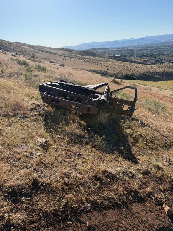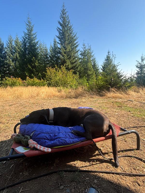
All along this road there were sites of dumped material, and burned dumped material. Please note: the photo uploaded is where we stayed on this BLM road but it is not of the trash we saw. I did not know to take photos of dump sites.
An independent public registry for U.S. public lands — not a government agency.
Emergency? Call 911Spotted trash or a dumpsite on BLM or other public land? Add a photo and GPS pin to a free, open registry that land managers, journalists, and volunteers can act on.
Free · No account required · 3 reports mapped
3
reports on the public map
1
site the community marked cleaned
TrashMap documents dumped material on public land.
Household garbage, construction debris, furniture and appliances, tires, drums, burn piles, abandoned camps, a dumped vehicle, or a spot that keeps getting fouled.
Scattered litter, an overflowing public bin, a maintenance problem, or anything on private property. Those go to whoever manages the site — a report here won't reach them.
Stop and call first for hazardous material — EPA National Response Center 1-800-424-8802 — or dumping in progress (911).
No training, no paperwork, no account. If you can take a photo, you can add to the record.
Snap a clear photo of the trash, dumpsite, or damage you encountered.
Use your device's location, type the coordinates, or place the pin on the map.
Your report joins the public map and gallery so anyone — including land managers — can see the pattern.
Every report is released into the public domain under CC0 — free for land managers, journalists, and researchers to download, map, and republish without restriction.

All along this road there were sites of dumped material, and burned dumped material. Please note: the photo uploaded is where we stayed on this BLM road but it is not of the trash we saw. I did not know to take photos of dump sites.

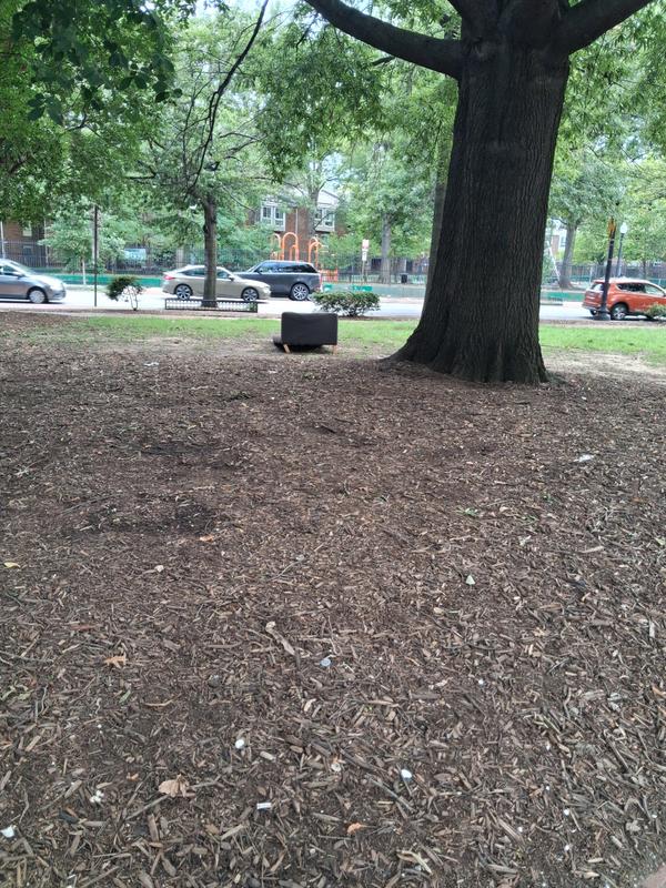
Illegally dumped furniture on "Reservation" land managed by NPS as part of the National Mall and Memorial Parks in the District of Columbia. Bordered by 1st St. NW / R St. NW / Florida Ave. NW in Washington, DC. Functionally, this NPS land is a small community park popular for dog-walking in the Bloomingdale and Truxton Circle neighborhoods. On Sunday mornings, it is adjacent to the Bloomingdale Farmers Market on R Street NW. The serial lack of attention by NPS to the "Reservations" it maintains in the District of Columbia speaks to the need to end taxation without representation & admit D.C. as the 51st State.

TrashMap does not forward reports to any agency. See who to call for each agency — the numbers are in the footer of every page.
More detail lives on the about page.
No. TrashMap is free and requires no account — anyone can file or browse a report.
Dumped material on public land: household garbage, construction debris, furniture and appliances, tires, drums, burn piles, abandoned camps, or a dumped vehicle. Scattered litter, an overflowing public bin, and maintenance problems belong with whoever manages the site instead.
No. TrashMap is a public registry, not an enforcement channel, and it does not forward reports to any agency. Land managers and stewards can browse the map, but you need to call the managing agency yourself — for active crimes or hazardous spills, call 911 first.
Yes. Photo, GPS coordinates, severity, and description are all public immediately and are released into the public domain under CC0. Don't include personal information you wouldn't want shared permanently.
Minor (small litter), moderate (a visible dumpsite), severe (truckload-scale dumping or environmental damage), and hazardous (chemicals, sharps, asbestos, or other dangerous waste).